
Continuing the story of our 117-mile walk across Devon, coast to coast, in 2013. Part 1 can be found here.
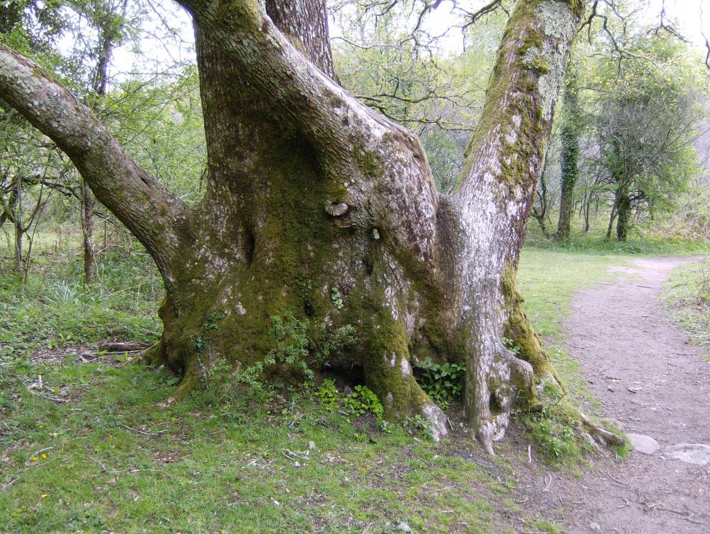
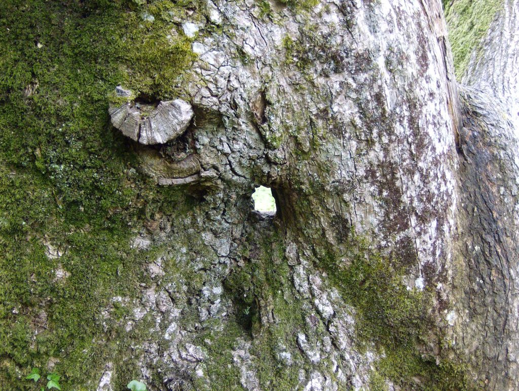
From our stopping place just north of the River Dart we set out across the moor towards Grimspound and Chagford. Today’s route takes us over the hilly northern section of Dartmoor and is probably our toughest day’s walking. But before that we walk gradually uphill through the morning-fresh wooded valley of the Dart.
 The moor is high and empty, but it hasn’t always been so. For our prehistoric ancestors these uplands were safer and more comfortable places to live than the densely forested valleys. Evidence of earlier occupation is all around, as Conan Doyle, author of The Hound of the Baskervilles, which he set on these moors, noted in the Victorian era:
The whole steep slope was covered with grey circular rings of stone, a score of them at least.
“What are they? Sheep-pens?”
“No, they are the homes of our worthy ancestors. Prehistoric man lived thickly on the moor, and as no one in particular has lived there since, we find all his little arrangements exactly as he left them…”Arthur Conan Doyle – The Hound of the Baskervilles
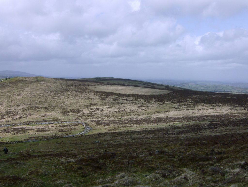
At the highest point on Hamel Down (532m) is Broad Barrow, a huge prehistoric burial site, the largest on Dartmoor. The Two Moors path runs directly through it.
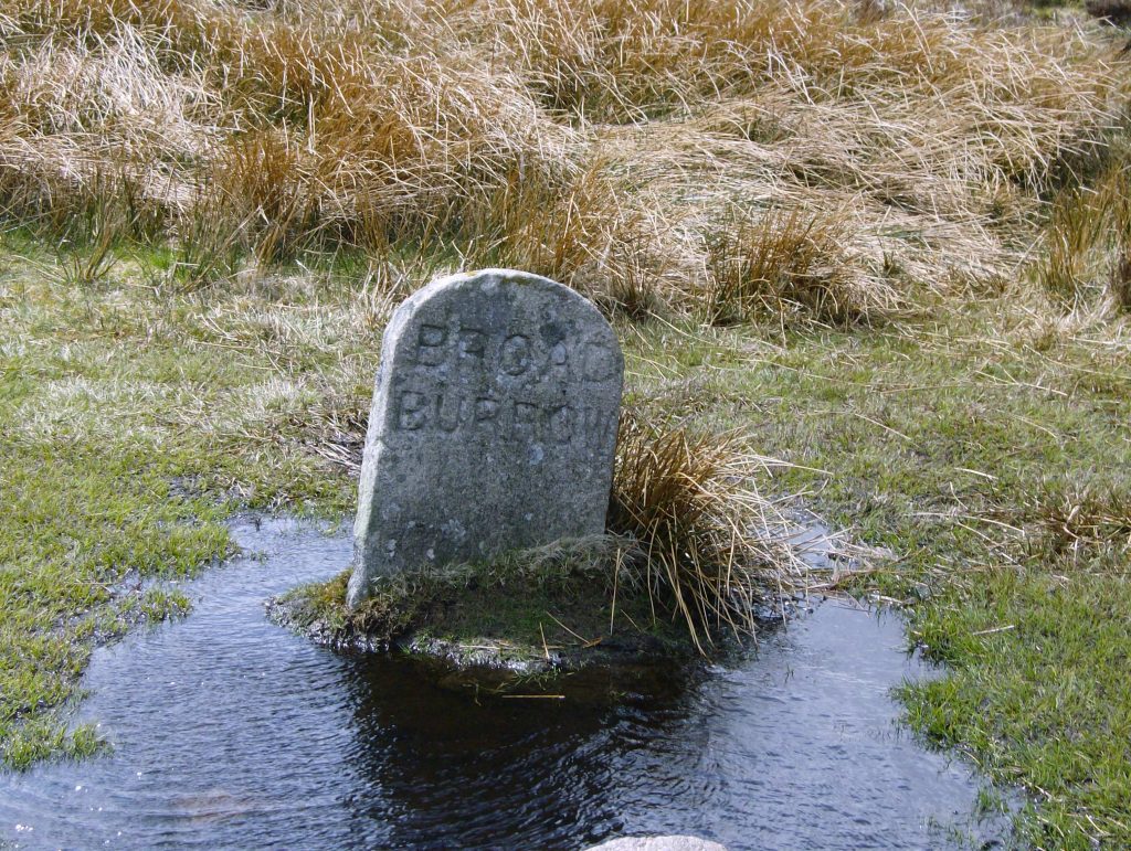
Nineteenth Century Marker Stone on the Barrow
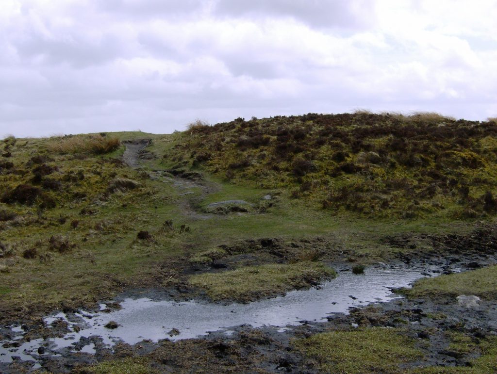
Hamel Down
A mile further on is Grimspound. I have written about Grimspound on this blog before, so I have reused some of that material for this account.
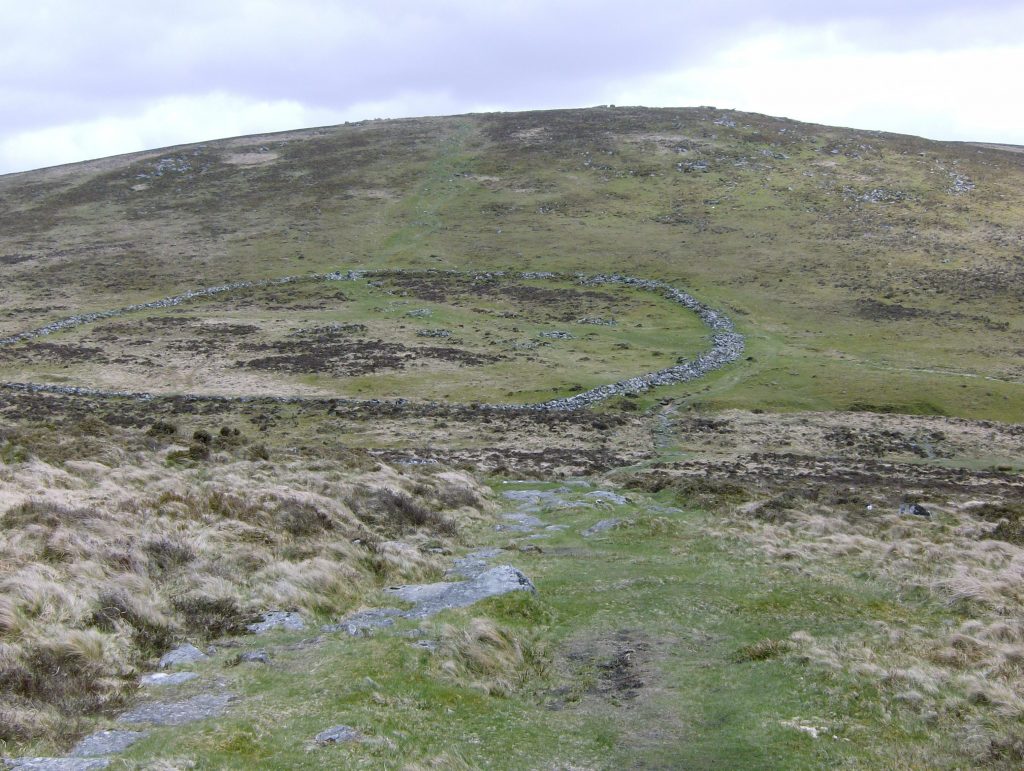
We approach Grimspound from the south-east over Hameldown Tor and Broad Barrow. As we do so I have in mind Julian Cope’s description from his wondrous The Modern Antiquarian (1998):
Imagine ancient travellers arriving at Grimspound, but coming downhill from over the moor to the east, the great citadel on Hookney Tor high above to the north, dotted with look-outs and linked by the causeway. Imagine the women at the water – the fast-flowing stream at the northern edge of the huge circle. The water runs right through the settlement. And mighty it is too.
Approaching Grimspound from the South-East
Grimspound does not disappoint – it is only the weather that is grim this day, battering us with driving rain as we come down off the Tor to continue on towards Chagford. The four-acre site comprises a circular defensive enclosure containing the remains of twenty-four hut circles, all originating from the Late Bronze Age. The site is dominated by the heights of Hookney Tor to the north.
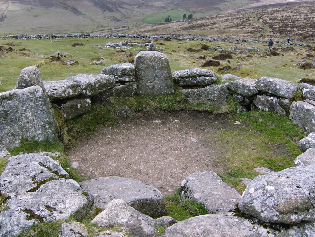
Hut Circle
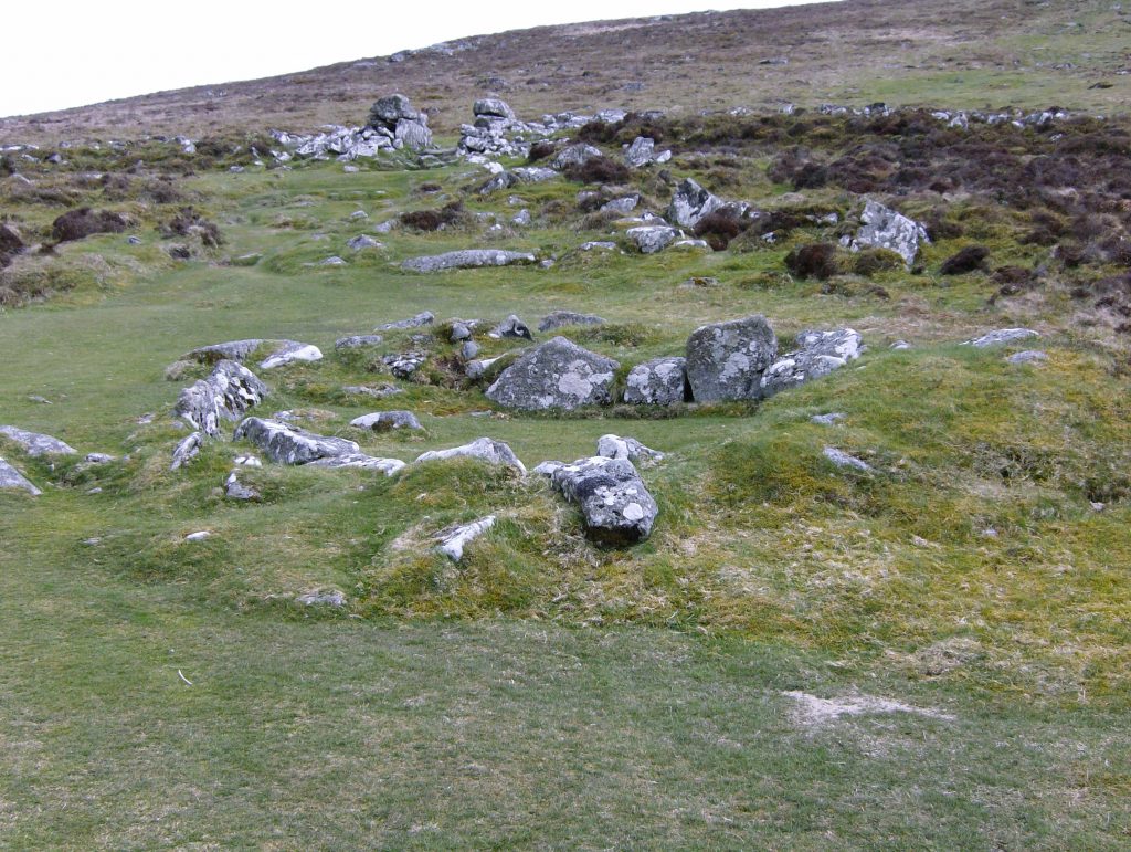
Hut Circles Showing Entrance to the Enclosure
From Hookney Tor
The name Grimspound, of course, is a relatively modern invention, with ‘grim’ meaning deadly or savage and ‘pound’ an enclosure. But there is ample evidence that this was not such a grim place in Bronze Age times, with the climate of southern Britain being much more temperate and the four-foot walls of the enclosure being more suited to herding animals than necessary for defensive purposes. Nonetheless, on our visit nature succeeds in evoking a powerful sense of a landscape steeped in desolation and hardship.
We come down off the moor, cross the B3212 Exeter to Postbridge road and meander our way through the lanes for another four miles or so to the village of Chagford.
All pictures ©Bobby Seal
Fab. Thanks for Part Two.
I am so glad you are providing this diary of your walk. This route is new to me! Thank you.
Memories from happier times!