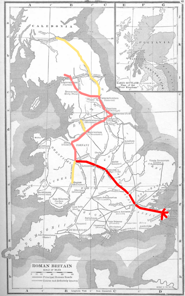
Chester is situated on an elbow of Watling Street, one of Britain’s major Roman roads. One branch issues south towards London and the other runs east across the Pennines to York. Chester’s importance to the Romans was determined by its location. It was at the north-western extremity of the Midland plain and formed the gateway to the highland zones to the north, east and west. Chester also straddled the coastal route into North Wales and was located at the highest point of the River Dee that was navigable by sea-going vessels.
The Roman word for Chester, Deva, was adopted from the name the early Britons gave to the River Dee: which directly translates as the River of the Goddess. In medieval Welsh Chester was called either Deverdaeu or Caerlleon (the fortress city of the legions). In modern Welsh Chester is known as Caer.
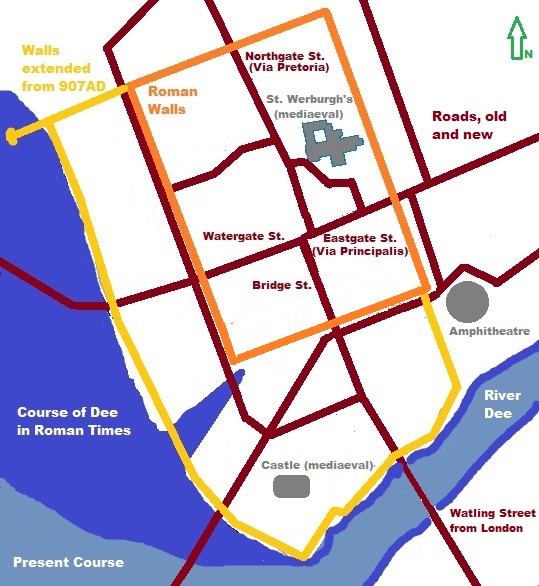 The Romans placed their fortress of Deva, as Chester at a defendable narrow point of the River Dee, a location that could also be forded at low-tide. The fortress was protected by the river to the south and west, while on the other two sides walls were constructed to secure their strong point. At first the fortifications were made of wood, but in time these were strengthened using local sandstone, as is evident in the older sections of Chester’s walls.
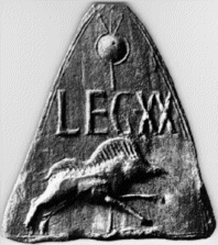
The Roman garrison had their main barracks in the site of present-day Crook Street and Goss Street, just to the north of Chester Cross. At first Chester was occupied by the Second Legion. But from approximately 90AD the fortress was garrisoned by the Twentieth Legion, the Valeria Victrix.
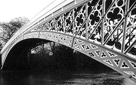
Watling Street approaches Chester from the south along the approximate route of the modern Eaton Road. Having decided to walk the route, I commenced my exploration at the Iron Bridge near Aldford, near the point where Watling Street is thought to have crossed the River Dee. To the south are the modern-day villages of Churton, Barton and Stretton. These mark the route to the Roman settlements at Malpas and Whitchurch in Shropshire, and beyond these to Wroxeter, Caerleon and ultimately London.
I follow the riverside path as far as Heronbridge, as the exact route of Watling Street is lost at this section. However, at Heronbridge I pick up Eaton Road which means I am able to follow the route of Watling Street more closely from this point onwards. Eaton Road is long and straight and really does feel like a Roman road.
Watling Street crosses the Dee once more and I enter Chester by means of the medieval Old Dee Bridge, which is built on the site of an earlier Roman bridge. It then follow the road uphill towards Chester Cross along the present-day Bridge Street. In Roman times this was known as the Via Praetoria.
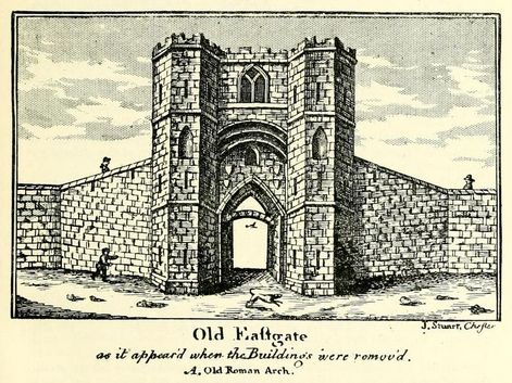
At Chester Cross I take a sharp right as Watling Street heads east along what is now Foregate Street before leaving the city through the East Gate. Sections of the road here were exposed during construction work in the nineteenth century. The sandstone roach base of Watling Street was revealed at the site of the East Gate and also outside numbers 46 to 50 Foregate Street, approximately six metres south of the modern kerb. Today the site is marked those modern-day shrines to Mammon: HMV and Game.
I end my walk at the site of the East Gate, but Watling Street continues from here through Boughton to the village of Vicar’s Cross. Beyond that the route passes through Eddisbury and Hartford to the forts at Northwich and Manchester and eventually reaches York.

