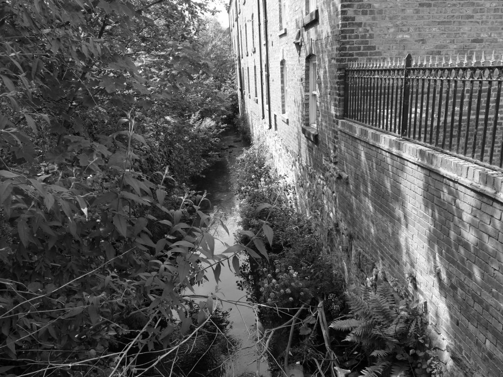
Winter brings the sound of water gushing below low points in the suburban streets and shopping parades as the streams that rise on Scarp swell and are channelled beneath Edgware, Pinner or Ruislip and flow towards their confluence with two broader rivers which embrace London’s northern margins, the Lea and the Colne. . . . I, too, flow downhill through time and distance from some as yet undiscovered point of origin on Scarp, and the growing awareness of this builds in me a desire to return. . . . I realise yet again that my destiny is bound up with Scarp.
Nick Papadimitriou – Scarp
It was back in 2010 that I first became fascinated with the idea tracing the hidden urban rivers of our towns and cities. I felt inspired to do so when I came across a podcast called Ventures and Adventures in Topography that year. John Rogers and Nick Papadimitriou both had a passion for walking and exploring the forgotten areas of London and the city’s liminal outer spaces. Nick, in particular, had an interest in London’s hidden rivers. An obsession he explored at greater length in his 2012 book, Scarp.
But other towns and cities have their buried rivers too. Taking my prompt from Nick, I soon became adept at tracing the courses of forgotten rivers and streams using old OS maps and quickly came to learn the tell-tale signs on the urban surface-landscape. Some of the results of these explorations have been reported in this blog and, in a fellow blogger called Dave, a work colleague of a friend, I met another hidden river enthusiast.
There is a rich literature embracing hidden rivers, particularly those of London. Iain Sinclair and Aidan Andrew Dun see them as veins of energy vibrating beneath the city’s streets. Inspired by Blake, Dickens, Conrad and other earlier wanderers along London’s rivers, Sinclair writes:
Which brings me to the haunting complexity of London’s buried rivers. They’re not lost, not at all. Just because you can’t see a thing, as Ed Dorn points out, doesn’t mean that it’s not there. The rivers continue, hidden and culverted as they might be, to flow through our dreams, fixing the compass of our moods and movements. The Walbrook, the Fleet, the Tyburn, the Westbourne, the Effra, the Neckinger: visible or invisible, they haunt us.
Iain Sinclair – Swimming to Heaven: The Lost Rivers of London
Picture of hidden stream ©Bobby Seal


I live in Truro, Cornwall, where we have a complicated system of leats running through the city. I think they used once to be a way of keeping rubbish sluiced out of the gutters, but they also seem to be linked to the way the three rivers that flow into and out of the city are kept under some control. There have been bad floods, though, even in the recent past, so more complicated flood control systems have been introduced. Nice to see the clean water rippling through the busy streets, though.
Leat is an interesting word, Simon. Apparently it’s mainly used in the south and south-west of England and in Wales. Where I live, in North Wales, it’s usually spelt leet.