But where does the river sit in all of this: as a reflection of (and receptacle for) change?
Surface Tension, Rob St John
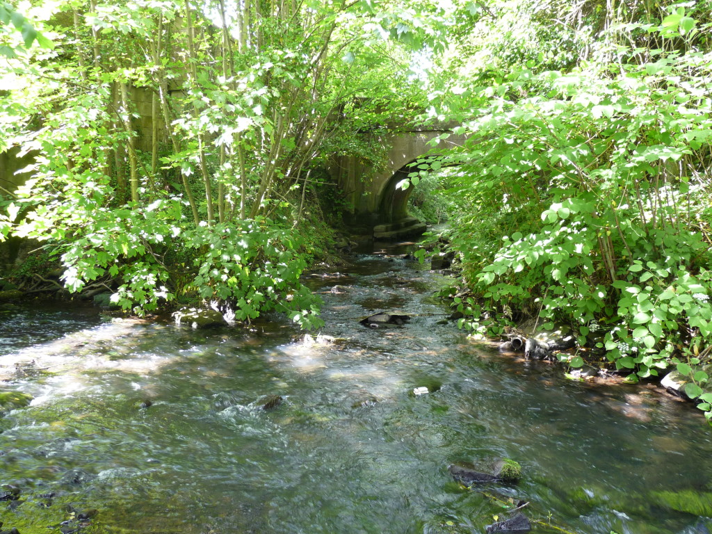
This is as far as I can go. I have been following the course of the River Gwenfro across Wrexham and now I have reached its end at its confluence with Wrexham’s other river, the Clywedog, here at King’s Mills. Four miles further on, to the south-east of the town, both rivers will join the Dee.
Both the Clywedog and the Gwenfro rise in the Denbighshire hills to the west of Wrexham. The Clywedog skirts the southern edge of the town while the Gwenfro follows a course right through the centre and forms the boundary of the ancient parishes of Wrexham Abbot and Wrexham Regis, which I have written about elsewhere.
It’s hard to catch sight of the Gwenfro in the centre of Wrexham, as much of it has been culverted. But at an area called Island Green the river emerges and insinuates itself past a 1990s shopping centre and an old brewery now converted into apartments. In the nineteenth-century, Island Green was at the heart of Wrexham’s tanning and brewing industries, the waste from which turned the Gwenfro’s waters into a foul soup.
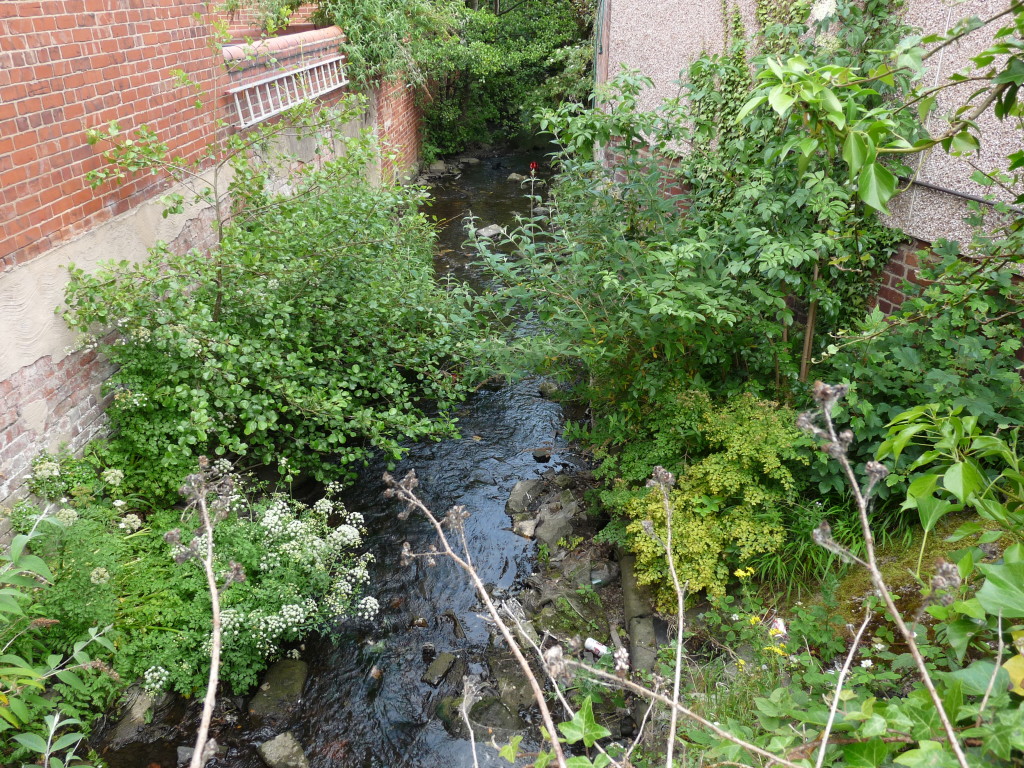 Soon after Island Green the river goes underground once more at Brook Street and doesn’t emerge again for another half mile or so at Rivulet Road. For the intrepid river-hunter, of course, the clues are all there in the street names!
The Gwenfro then channels its way through Caia Park, the largest council housing estate in Wales. Caia Park’s reputation has suffered from its past associations with crime and drug-dealing and there were serious inter-communal riots in 2003. But local people have worked hard to overcome these problems and, on a sunny June day, it was a very pleasant walk across the estate.
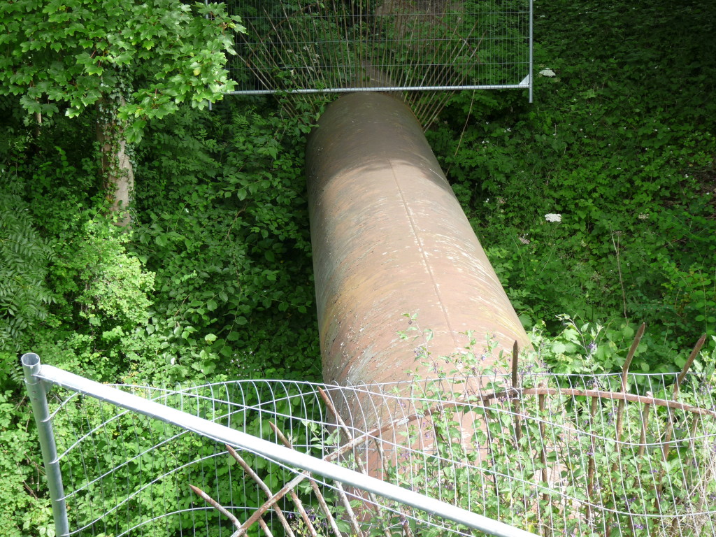
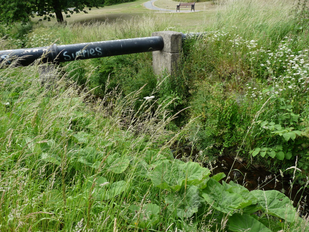
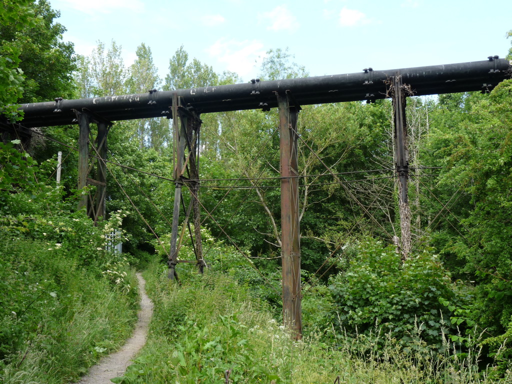 The Gwenfro cuts a green swathe through Caia Park; a ribbon of footpaths, sports pitches, playgrounds, strips of woodland and mercifully neglected green spaces edge the river. Beyond the estate the Gwenfro emerges into what feels like true countryside.
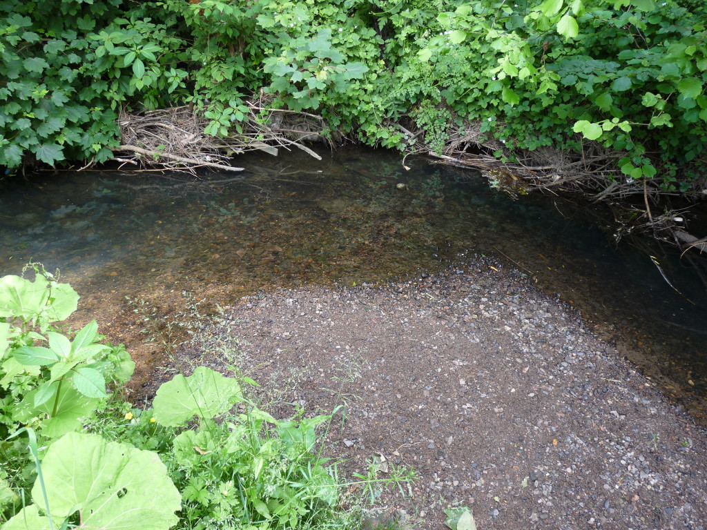
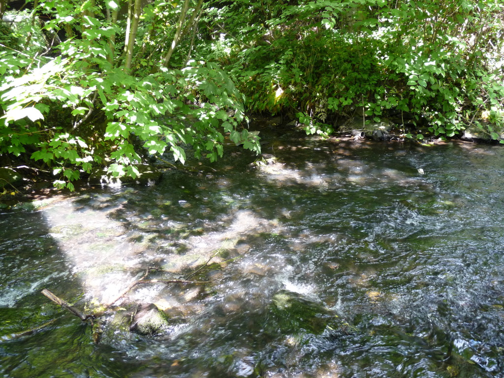
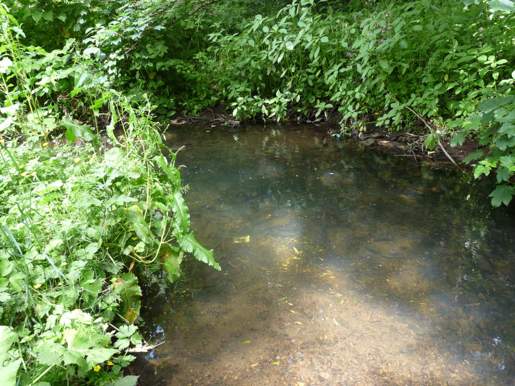 Its waters are mountain spring clear today, but one can imagine the Gwenfro in days gone by, weighed down with effluent, reaching this point and suddenly being reminded of the trees, meadows and sweet air of the place where it was born. A bit like a work-worn old pit-pony being turned out to grass for its final few days.
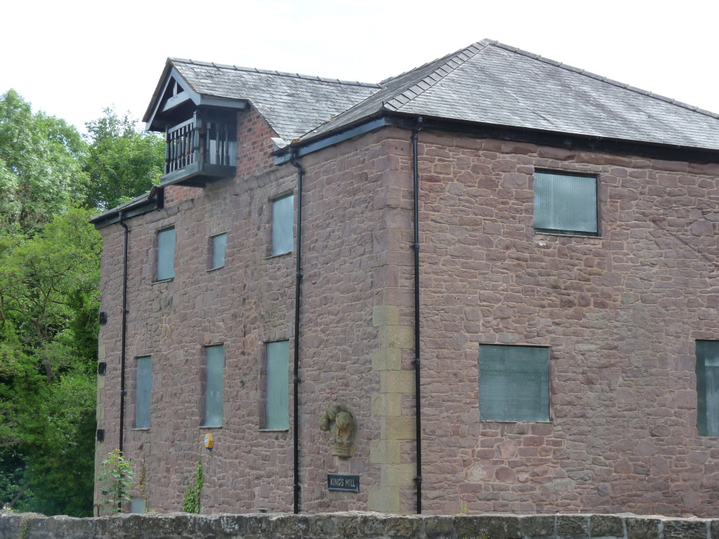
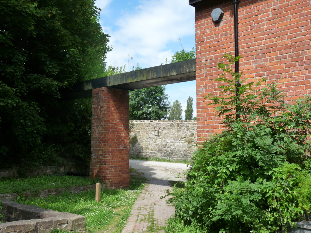
Within another half mile the river and I arrive at King’s Mills. The area was named after its large water mill, the original one being built in the fourteenth-century and the present building, which ceased work in 1940, dating from the eighteenth-century. All of the residents of Wrexham Regis were required to bring their grain to the mill to have it turned into flour and, of course, to pay their taxes to the Crown.
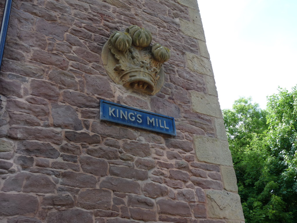
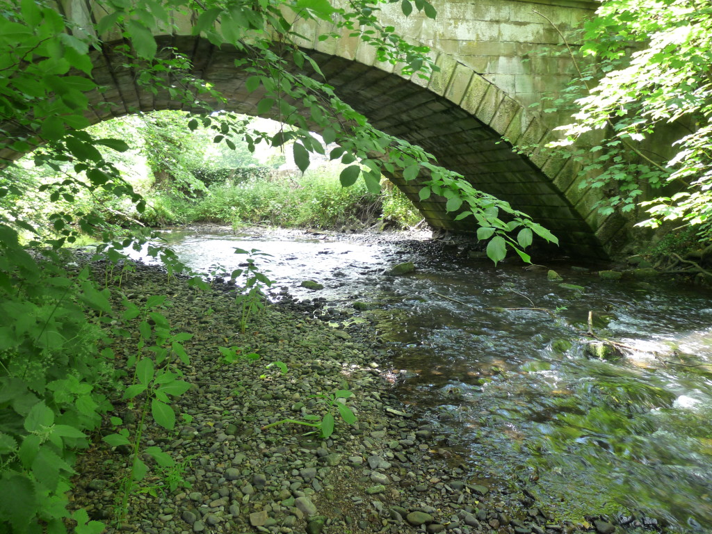
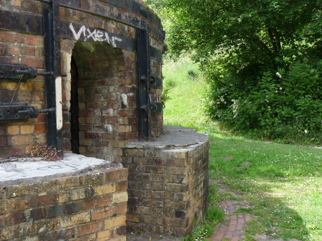 Kingsmill Bridge dates from 1782 and marks the point where the two rivers join. It’s quite a steep climb down to water-level, but there are plenty of branches to hold.
I dip my toes into the waters and wave a salute to the river, a combined force now, as it makes its way onward towards the River Dee.
Words and images by the author
Rob St John’s Surface Tension is available here

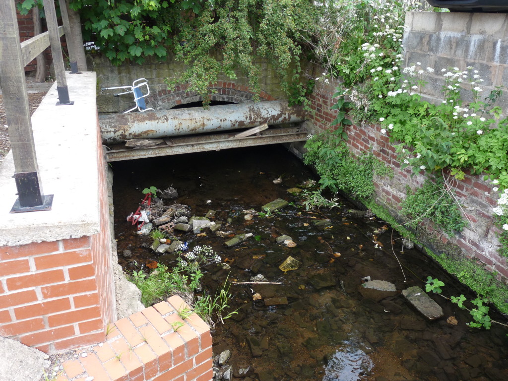
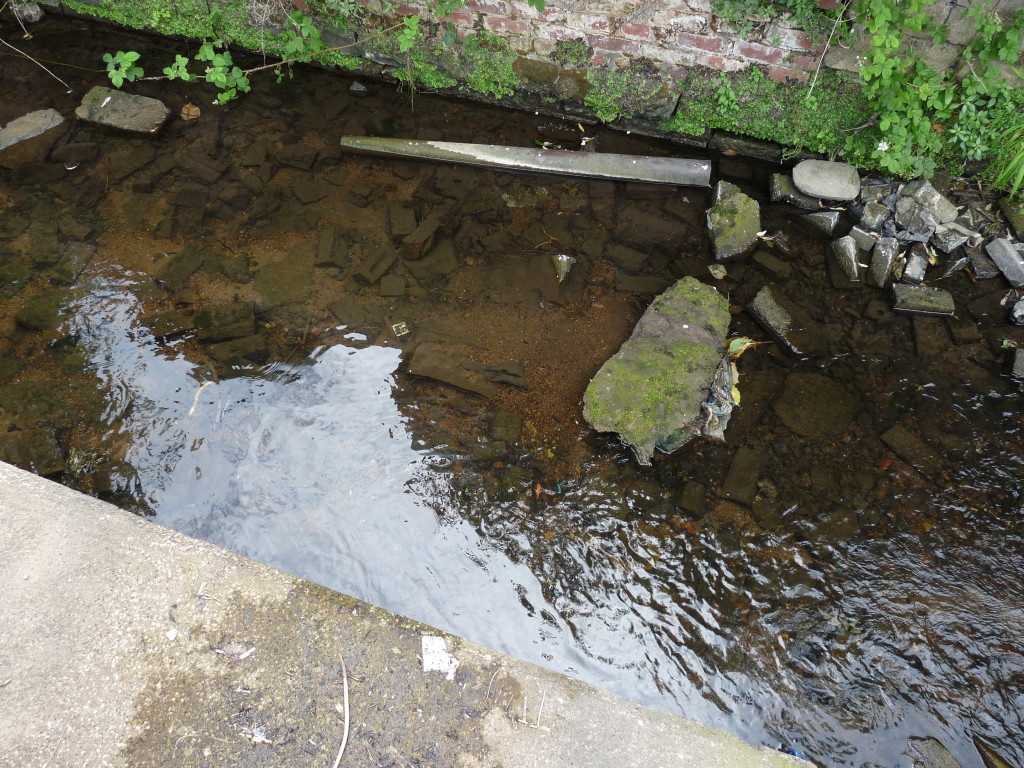
The clues are always there when looking for lost urban rivers – in the subtle contour changes, that are not always obvious on even large scale maps and as you found in street and house names. A fascinating piece with some great photos.
Just like your search for the Little Quaggy, tracing the course of an urban river is a bit of a detective story.
Fascinating, as ever.
Very good piece really enjoyed it. Lost urban rivers are such an interesting topic and until you know about them you can just pass them by.
Thanks Christine. I love your Dreamland blog post, by the way. https://thamesfacingeast.wordpress.com/2015/06/28/dreamland-the-joy-wheel-not-turning/