
A market town, a parliamentary borough, the head of a Union, and a parish, chiefly in the hundred of Bromfield, county of Denbigh; 26 miles (SE by E) from Denbigh, 18 (ESE) from Ruthin, and 187½ (NW) from London; ….. and containing 12,921 inhabitants, of whom 5818 are in the townships of Wrexham Abbot and Wrexham Regis, forming the town.
A Topographical Dictionary of Wales, 1849, Samuel Lewis
There is something profoundly binate embedded in the very nature of the town of Wrexham in North Wales. A border town straddling the divide between England and Wales. To the east of the town centre is Wat’s Dyke, constructed in early Saxon times when Wrexham was a Welsh outpost, while to the west is Offa’s Dyke, which was built much later after Wrexham had fallen into Mercian Saxon hands. The town was returned to Wales after the Norman Conquest, but still retains that duality of psyche that comes from being a border territory.
Temple Row
In the English Civil War Wrexham, like much of Wales, was firmly Royalist. But the town surrendered to a division of Cromwell’s army without a shot being fired and then decided to support the Parliamentary cause. A Janus-faced town, looking both ways, an accident of topography making it necessary for the locals to be prepared to switch sides in order to survive.
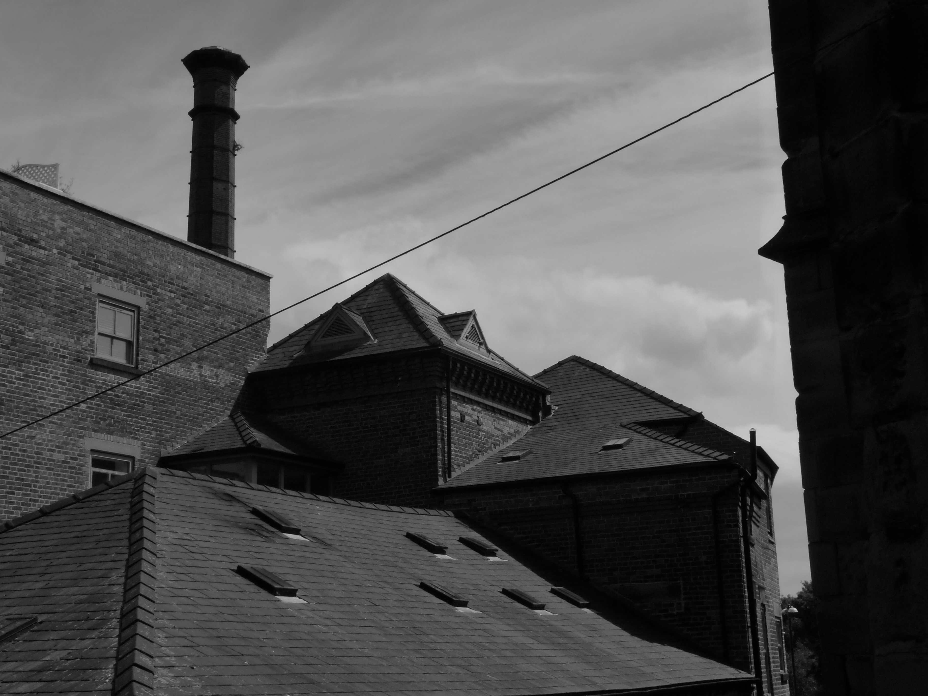
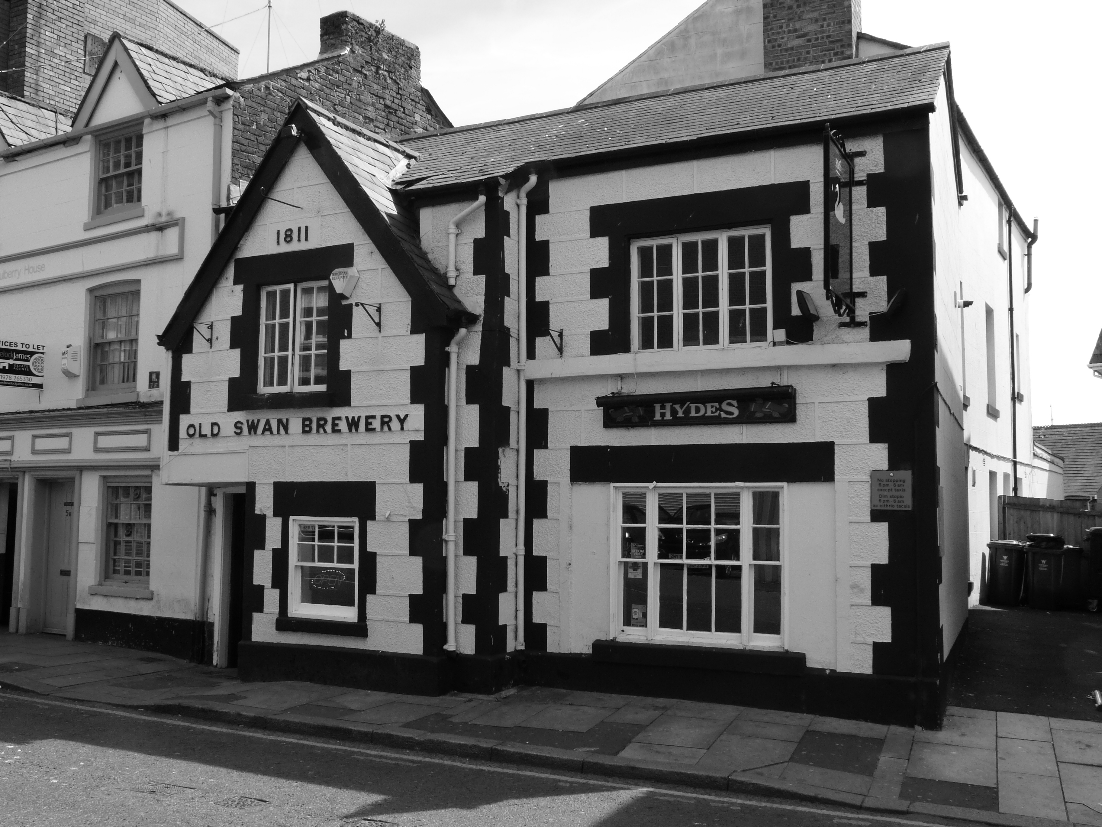
Former Border Brewery

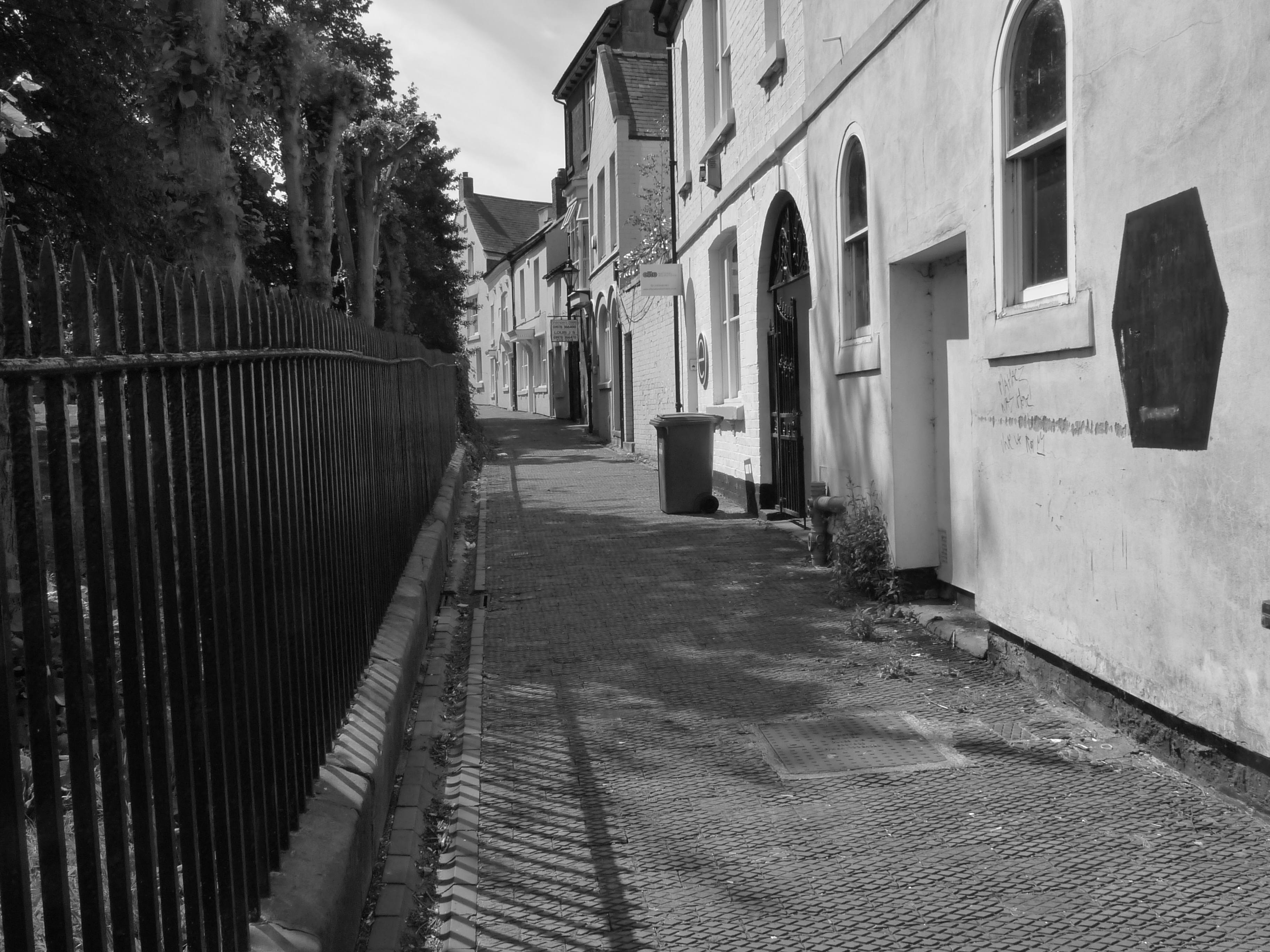
Alleyway off Foundry Road
Although there is some evidence of a small Roman settlement at Wrexham, the town itself was founded in the Middle Ages. The area that is now the town was part of the Marcher Lordship of Bromfield and Yale and, at some point in the twelfth-century, the Marcher Lord granted lands to the control of monks from Valle Crucis Abbey in nearby Llangollen. Thus, from its very inception, Wrexham had two identities: Wrexham Abbot, the part of the town that belonged to the Church, and Wrexham Regis, the remainder of the town which answered to the King.
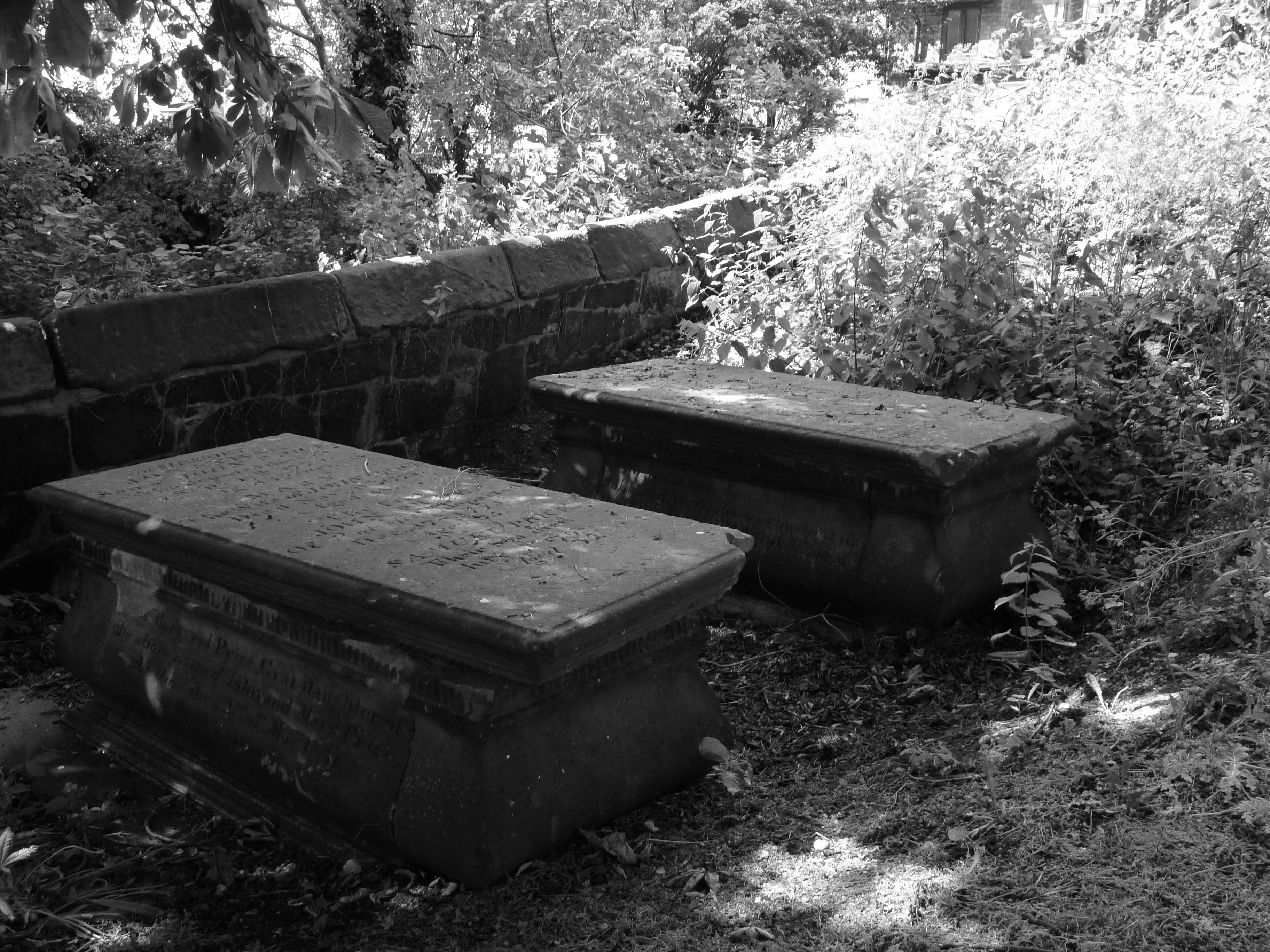
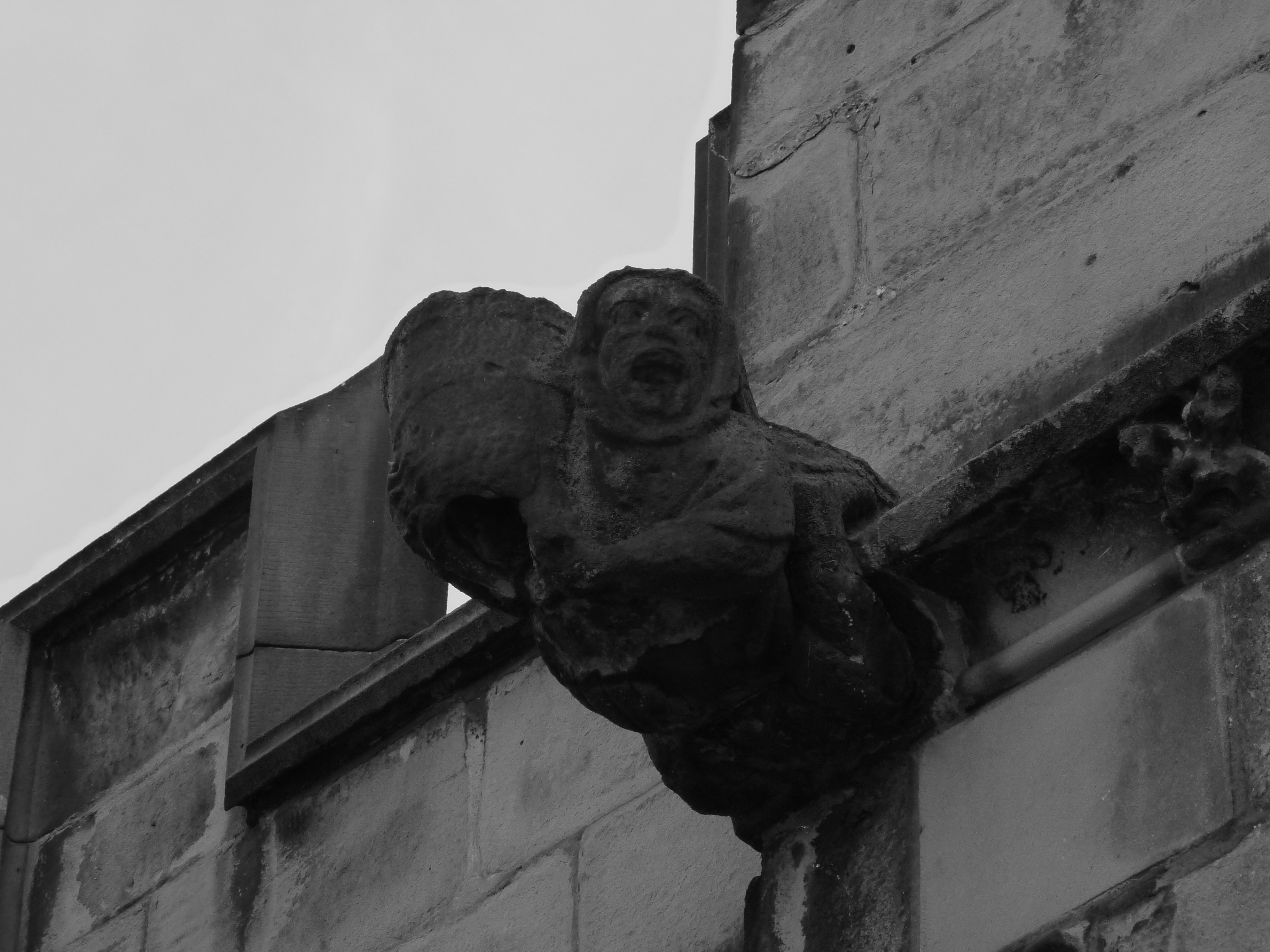
St Giles Churchyard
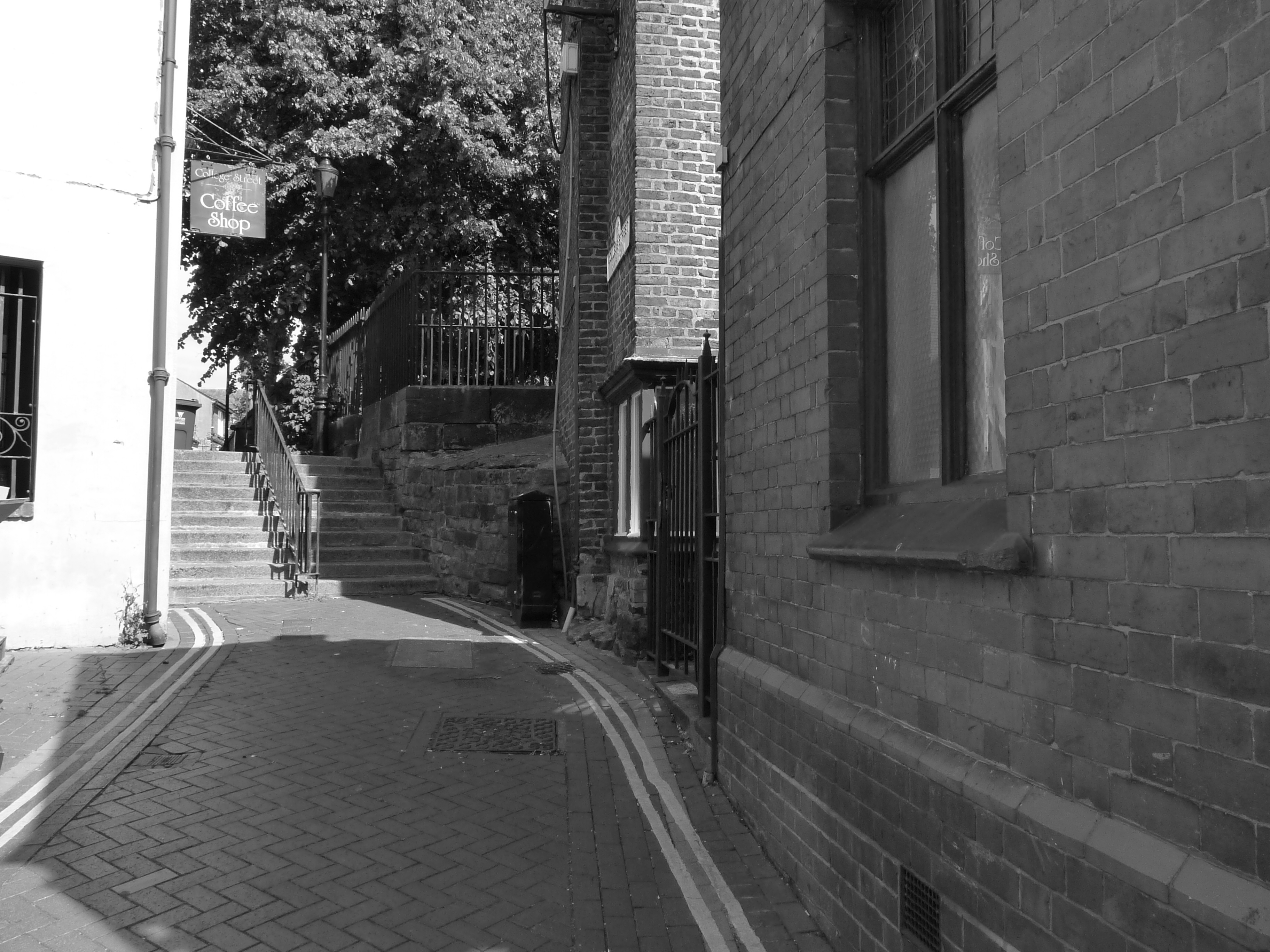
College Street
The two separate townships continued to grow, cheek by jowl, and after the Church was disestablished they became separate parishes: Wrexham Abbot and Wrexham Regis. This continued right through to 1885 when, as part of a process of civic reform, Wrexham Abbot was dissolved as an entity and incorporated into the parish of Wrexham Regis. By 1974 another round of local government reform killed off Wrexham Regis too.
But that wasn’t quite the end of the matter: echoes of Abbot and Regis resound throughout Wrexham’s town centre. The core of the town still retains much of its medieval street pattern with a web of narrow streets and alleyways centring on the parish church of St Giles. In this area we find Temple Row and Church Street hinting at an ecclesiastical heritage and, on the other side of Town Hill, Abbot Street provides a potent reminder of the days of Wrexham Abbot.
St Giles Church
Abbot Street
To find street names indicating a connection with Wrexham Regis we have to look to the north of the town’s medieval core. Here we find King Street and Regent Street and, on Lord Street, a hair salon called Regis! There is no definitive map of the boundary between Abbot and Regis; I suspect the line was always a bit haphazard even in times gone by. However, most local historians seem to accept that Regis was to the north of the River Gwenfro and Abbot was centred on the original core of the town to the south of the river: the part that grew up around the medieval parish church.
River is probably too grand a name for the Gwenfro, it is more of a brook. But it has great historical significance for the town as it was essential for Wrexham’s once important tanning and brewing industries. Much of the river has now been culverted through the town centre, but it is still possible to trace its line and walk along some sections of it, which is what I did when I went in search of evidence of Abbot and Regis.
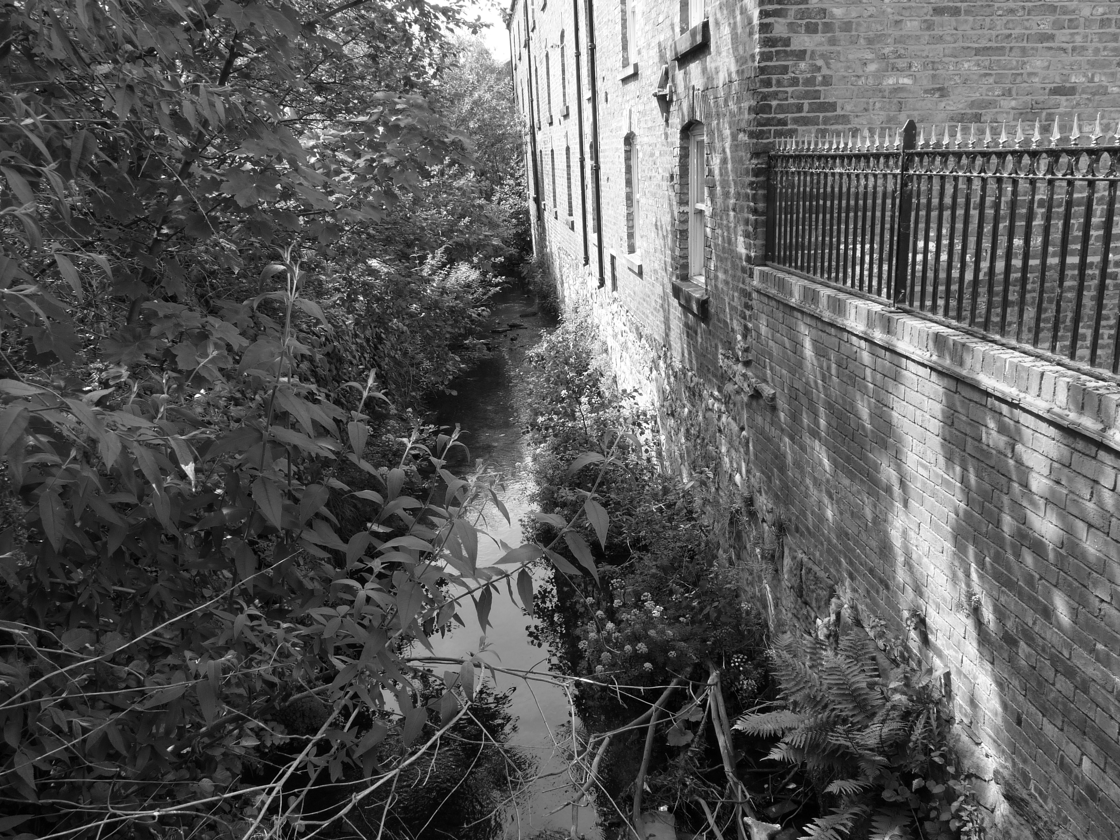
River Gwenfro
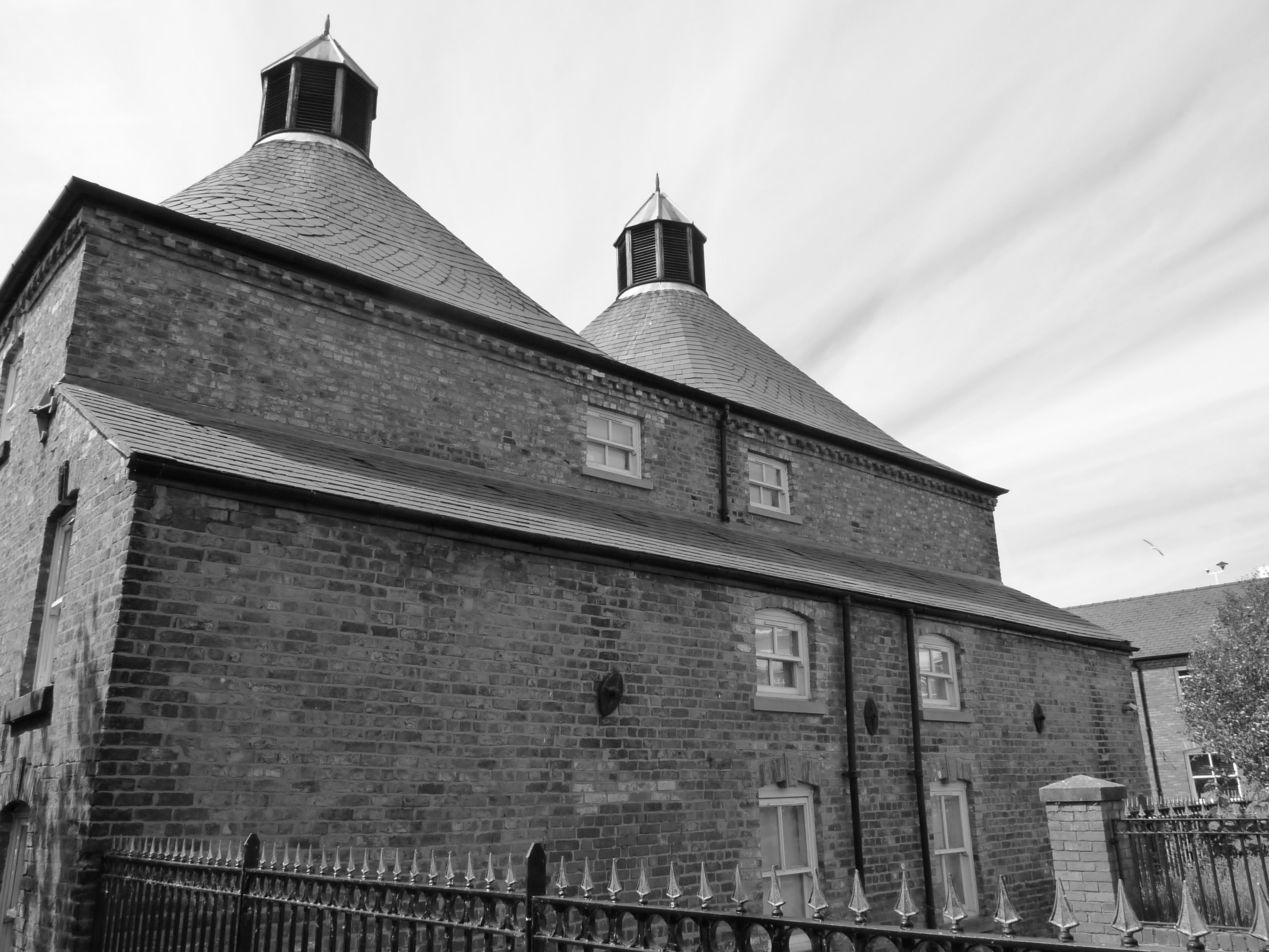
Old Oast Houses on River Gwenfro
I am fascinated by borders and edge-lands, those special places where two identities meet and, at the point of the tectonic clash of the two, an amorphous, but fascinating, third identity often emerges. Tracing the route of the River Gwenfro, Abbot to the south and Regis the north, I ponder the nature of duality, or deuoliaeth as it is called in Welsh. This idea of the binary seems to resonate in our mythologies and archetypes: Gemini’s twins, Castor and Pollux, Janus, and Orthus the two-headed dog.
Casting our eyes up from the streets to the heavens, it’s an amusing irony that astronomers have discovered a rich sprinkling of double stars in the Gemini constellation (United States Naval Observatory’s Washington Double Star Catalog).
Bobby,
Again we have drifted in each other’s footsteps! And again I have learned from your words! Billy Mills was spot on!
Perhaps the relationship of Afon Gwenfro to the Dee is a bit like the Fleet and the Thames 😉 and if we accept the purpose of Wat’s Dyke was to be the border between Cymru and Mercia then Wrecsam is bisected throughout history. A town, possibly a future city, with a schizo-affective past.
David
You’re definitely the Wat’s Dyke expert, Dave. I just dabble at the edges. I only read about the medieval street pattern recently, but it’s so obvious when you walk the area around St Giles. Squeezed between Offa and Wat, someone less kindly disposed towards Wrexham than me might describe it as the ditch between two dykes…
A really interesting, beautifully written piece, while I don’t know Wrexham, it gives a really feeling of the intermingling of the history, geography and the sense of the place.
Thank you. Further evidence that even the most unglamorous places have an interesting story to tell when you look below the surface.
Fascinating, I like the way that the Gwenfro’s importance has diminished in parallel with it’s role demarcating the dual towns – a culverted boundary. Very atmospheric photos.